Serengeti Map
You want to navigate the famous Africa premier wildlife destination that’s the Serengeti national park well, no better way to do so than having a comprehensive Serengeti National Park Map with all details including hotels, camps and lodges and airstrip locations.
Are you planning to book a Serengeti safari the Tanzania’s crown jewel? Our detailed Serengeti plain Africa map resources provide everything you need to navigate this magnificent ecosystem. Twinkle Star Tours and Safaris offers these free downloadable map to help you visualize your journey through one of Africa’s most spectacular wildlife destinations.
Our primary Serengeti plain map displays both the main Serengeti National Park boundaries and the surrounding protected areas, including Ngorongoro Conservation Area, Maswa Game Reserve, Grumeti and Ikorongo Game Reserves, and Loliondo Game Controlled Area. This comprehensive view helps you understand how the Greater Serengeti Ecosystem functions as an interconnected wilderness spanning approximately 30,000 square kilometers.
Serengeti Map with details about hotels, camps & lodges and Airstrips
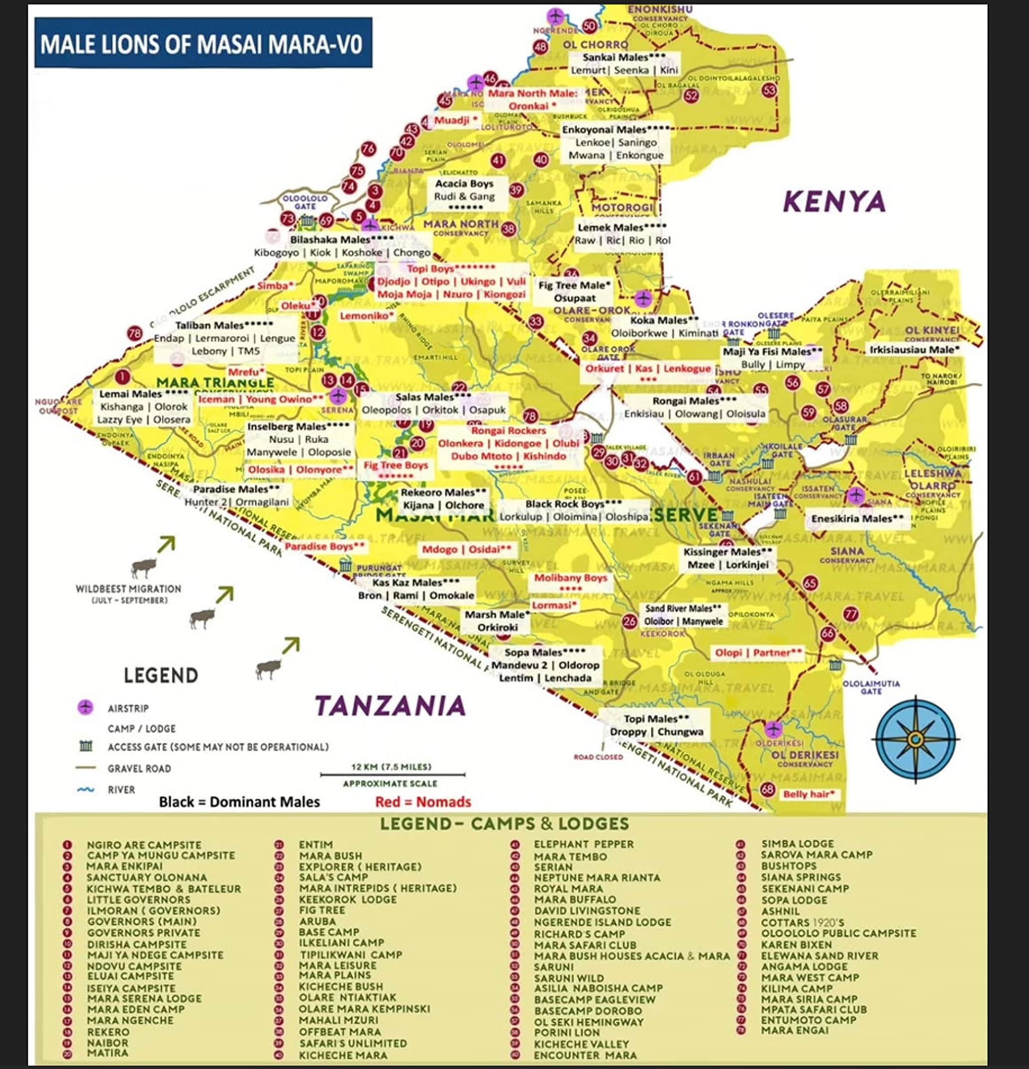
The detailed Serengeti plain Africa map below indicates the general positions of major accommodations throughout the park, including permanent tented camps, luxury lodges, and selected public and special campsites. You’ll also find clearly marked airstrips, ranger posts, and visitor centers to help plan your logistics.
Our Serengeti plain map divides the park into its distinct regions:
- Northern Serengeti (Kogatende and Lamai areas)
- Western Corridor (Grumeti River region)
- Central Serengeti (Seronera Valley)
- Eastern Serengeti (Lobo and Loliondo)
- Southern Serengeti (Ndutu and Kusini)
Each region offers unique landscapes and wildlife viewing opportunities depending on the season and migration patterns. The central Seronera Valley, with its resident wildlife, provides excellent year-round game viewing, while the northern and southern regions host the Great Migration at different times of year. We do also have Maasai Mara National Reserve map which you can check it out.
Please note that while comprehensive, this Serengeti plain Africa map is not drawn to precise scale. For exact GPS coordinates or specific location information, please contact our serengeti safari planning team directly. We can provide additional customized mapping resources based on your itinerary and interests.
For interactive exploration, we’ve also included a link to Google Maps overlay of the Serengeti, which can help you visualize distances between locations and terrain features.
Talk to us if you need to book a Serengeti safari and this Serengeti map resource should help you in planning your ultimate Tanzania safari adventure with Twinkle Star Tours and Safaris.